Research Hub
Start with the Research Overview, then explore the wider project across these platforms.





OR
Start With a Question
Begin with the full reconstruction, or enter through one of the individual questions below.
Where Is the Land of the Patriarchs? →
Was Muhammad Shown a Physical Path? →
ESSAYS
Selected writing on geography, kinship politics, hydrology, and sacred narrative landscapes.
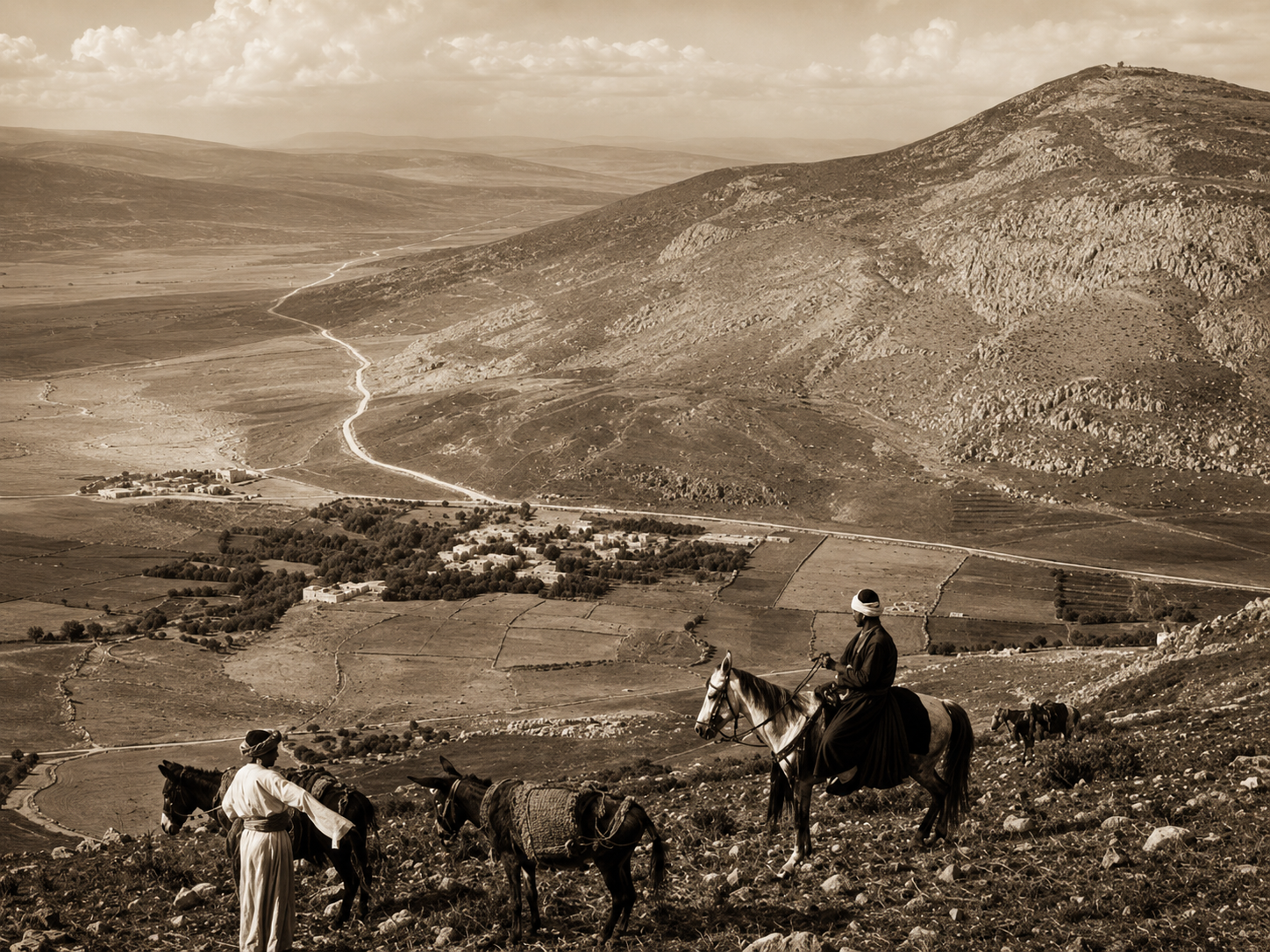
We tend to read Abraham, Jacob, Moses, and the prophets who came after them as if they moved through blank space: a story unfolding on a stage with no floor. A place-name appears, a caravan arrives, an altar is built, a well is dug, and the narrative moves on.
The land itself rarely gets a speaking part.
But land was never neutral in the ancient Near East. It imposed some of the hardest constraints on where a person, a household, or a people could travel and remain. Beneath every later kingdom, border, and political claim lay a simpler and older set of questions:
Where is the water?
Which routes can be crossed?
Who controls the ground around them?
These are the questions We Were Not Looking asks of the Torah and the Qur’an, not as competing theological claims, but as textual memories of people moving through the same physical world.
The Land Beneath the Story
Shekhem: A Saddle, Not Merely a Symbol
Consider Shekhem, where Abraham first enters the land and builds an altar.
Read only as narrative, it can appear simply as “a place.” Read as terrain, Shekhem occupies a saddle between Mount Gerizim and Mount Ebal, where important routes converge within a spring-fed highland environment.
Its location matters before any symbolic meaning is assigned to it. The terrain made Shekhem a natural place to stop, gather, and establish a territorial presence.
The narrative importance of the site may be inseparable from that geographic reality.
The Yabboq: A Physical Boundary Beneath a Spiritual One
Consider the Yabboq, the river Jacob crosses at night before his reunion with Esau.
It is often read as a spiritual threshold, and rightly so. But it is also a physical one: a drainage corridor cutting through Gilead and functioning historically as a natural territorial boundary.
The narrative does not merely place Jacob beside a convenient stream. It situates his transformation at a geographic threshold separating one political and social landscape from another.
Petra: Hydrology Before Monuments
Then there is Petra, now associated with the monumental architecture carved and engineered by the Nabataeans.
Before that monumental city could exist, however, the Wadi Mūsā basin had to offer something more fundamental: the possibility of capturing, directing, and storing water in an unforgiving environment.
The monuments came after the hydrology.
The basin’s natural water potential made later habitation and development possible. How early that environmental importance began, and whether it influenced settlement or movement before the major Nabataean hydraulic system, remain questions for archaeological and hydrological investigation.
None of this is decorative background.
In each case, the physical logic of the location helps explain why the narrative assigns weight to it. The possibility that this relationship recurs across multiple locations in the Torah and the Qur’an is the observation from which the book begins.
A Testable Question, Not a Proclamation
It would be easy to overstate the argument.
It would be easy to announce that scripture has “secretly encoded” a hydrological map, or that archaeology has already proved the theory.
That is not what is being claimed, and it is not how serious inquiry works.
The research appendix to We Were Not Looking proposes something narrower and more useful: a testable hypothesis.
If sacred narrative geography repeatedly corresponds to hydrological thresholds such as springs, drainage divides, and watershed corridors along the Levant–Arabian corridor, that proposed relationship should be open to examination through independent forms of evidence.
Appendix A identifies three directions for further research:
mapping karst springs and watershed divides around central-highland sites;
reconstructing the hydrological history of the Wadi Mūsā/Petra Basin;
using GIS to compare the Wadi al-Farʿa and Yabboq drainage systems with traditional movement corridors.
These are research directions, not completed tests. The process of determining how they could be tested responsibly has begun.
Specialists in karst geomorphology, archaeological GIS, arid-land settlement, and ancient water systems are being asked to examine the portions that fall within their expertise.
They have no obligation to defend the book’s interpretation. Their role is more valuable than that: to identify whether the proposed variables are meaningful, what evidence would be required, and where the model may be wrong.
One lesson has already become clear. Any serious analysis must distinguish the water naturally present in a landscape from the systems people built to capture and manage it: cisterns, dams, channels, and agricultural terraces.
That distinction is precisely the kind of refinement that emerges when a hypothesis is placed before people equipped to challenge it.
Why This Matters Beyond One Book
The value of this approach is not that it produces one more clever interpretation of one more sacred story.
It offers a different way of reading these narratives altogether: one in which the Torah and the Qur’an can be considered as witnesses to a shared physical world without requiring that they be collapsed into one account, reconciled at every point, or ranked against each other.
A reader does not need to hold a particular theological position to find that possibility compelling.
One only needs to have wondered whether these stories preserve something real about the terrain they describe.
What changes when Shekhem is understood as a corridor junction rather than merely a named location?
What changes when the Yabboq is seen as both a spiritual and territorial threshold?
What changes when Petra is considered first as a basin shaped by water, and only afterward as a monumental city?
The prophets did not move through empty space.
They moved through landscapes that constrained them, sustained them, and placed them in contact or conflict with other people. To follow their movement, we must learn to see the roads, watersheds, ridges, and boundaries beneath the story.
That is the investigation We Were Not Looking opens.
It does not close it.
Distinguishing Tribal Identity from Narrative Memory in Exodus 2
This essay explores a developing historical hypothesis concerning the narrative structure of Exodus 2, distinguishing textual observation from historical reconstruction. It is offered for scholarly consideration rather than as a claim of definitive proof.

Abraham’s Altars: Land, Covenant, and Territorial Memory
A broader study of Abraham’s altar-building sequence and what these locations may reveal about movement, sacred memory, and covenantal presence.
Kinship Politics and the Hidden Political Grammar of the Patriarchal Narratives
Household Authority, Succession, and Territorial Identity in Genesis 12–50
An examination of how family conflict, inheritance, lineage, marriage, migration, and household authority function as political structures in the patriarchal narratives.